logo

MacArthur Bridge

Iconic Pennyslvania Through Truss Bridge over Mississippi River
St. Louis, Missouri
To
East St. Louis, St. Clair County, Illinois

Click the Photo Above to See All Photos of This Bridge!

This Page Concentrates on the Three Main River Spans

Name MacArthur Bridge
Built By City of St. Louis
Designer Boller & Hodge of New York
Contractor American Bridge Company of New York
Currently Owned By Terminal Railroad Association of St. Louis
Length 18,261 Feet Total; 2,031 Feet River Spans, 677 Foot Largest Span
Width 2 Tracks
Height Above Ground 108 Feet Total
Superstructure Type Pennsylvania Through Truss
Substructure Type Stone Masonry
Date Built (River Spans) 1907-1912
Traffic Count 50 Trains/Day (Estimated)
Current Status In Use
Significance High Significance
Documentation Date June 2016
On May 23rd, 1906; a bill was submitted to the United States Congress to allow the City of St. Louis to build a new Mississippi River Crossing, set approximately one mile down stream from the Eads Bridge.

The City of St. Louis desired to break a long standing monopoly by the Terminal Railroad Association on the crossings of the Mississippi River at St. Louis. The TRRA owned both the Merchants and Eads Bridge; the two major routes across the river.

The project would be dubbed the "Free Bridge", and was approved in late June of that year. The vote to build the 3.5 million dollar bridge for railroads and vehicles was seen as a populist movement.
By July of 1907, construction on the west end of the bridge would begin. Construction work would reach the river in 1909, but grind to a halt due to a lack of funds.

Once the funds were secured, the bridge was ready for road use in 1912; except for the Illinois Approaches. The lengthy ramp connecting to 10th Street in East St. Louis, Illinois would not be completed until 1917.

On January 20th, 1917; the Free Bridge would be opened to traffic. This came nearly 10 years after construction first started. However, the railroad deck would not yet be complete.

In may of 1918, the bridge would be renamed the Municipal Bridge; and turned over to a new commission.

By 1926, the original United States Highway System would be dedicated. This bridge became a gateway to the west; carrying US Highway 66 and US Highway 460; along with other roads.

In 1928, the City of St. Louis made a number of improvements to entice the railroads to use the bridge. One such improvement was creating a long network of viaducts approaching the bridge. A total of five individual viaducts connected to the bridge; three on the Illinois Side and two on the Missouri Side.

The first train ran over the bridge in late 1928. By 1932, tolls were added to the bridge as auto traffic increased and the bridge needed more improvements. The Free Bridge was free no more.

In 1942, the bridge was renamed the MacArthur Bridge; after General Douglas MacArthur, who was serving in World War II at the time.

Despite the populist movement that led to the construction of the bridge, a new bridge opened just upstream in 1967. This new bridge would carry US-66, US-40, I-64, I-55 and I-70. This would essentially eradicate all traffic on the MacArthur Bridge.

By 1981, the bridge was in need of a nearly 6 million dollar repair. The city would close it to automobile traffic in 1981.
Since 1981, the automobile deck has gradually been removed. Since 2014, nearly all the approaches have been removed and the entire deck on the main spans has been removed.
Despite this, the bridge continues to be a source of heavy railroad traffic. In an ironic twist of fate; a bridge designed to avoid railroad monopolies was traded with the TRRA in 1989 for the Eads Bridge.
Today, the bridge continues to be one of the most used bridges across the Mississippi River.
06/26/21


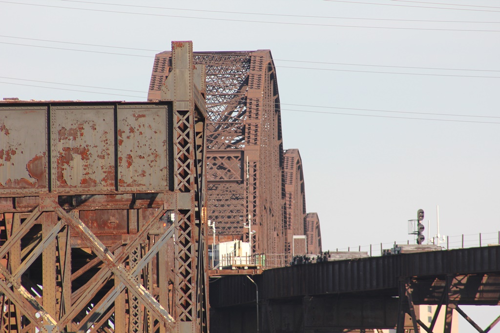
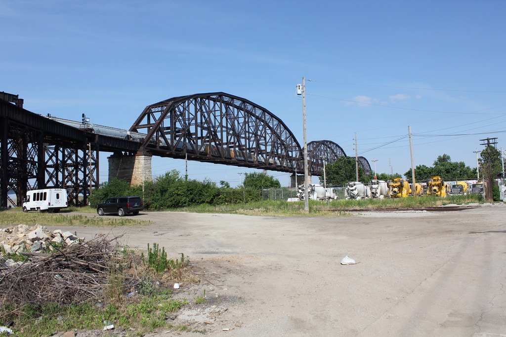
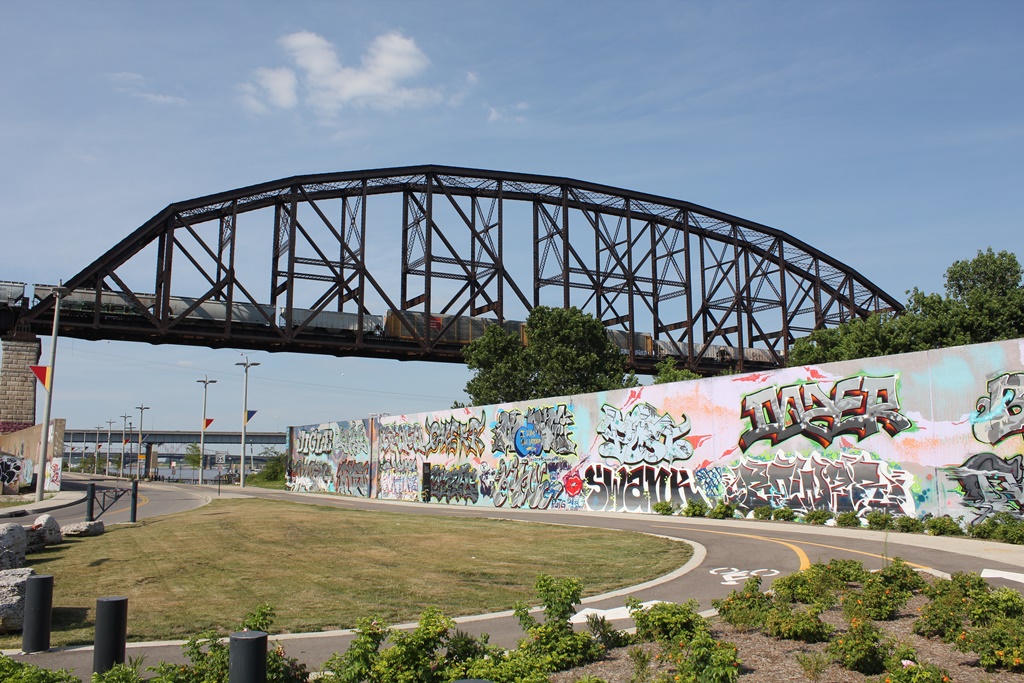
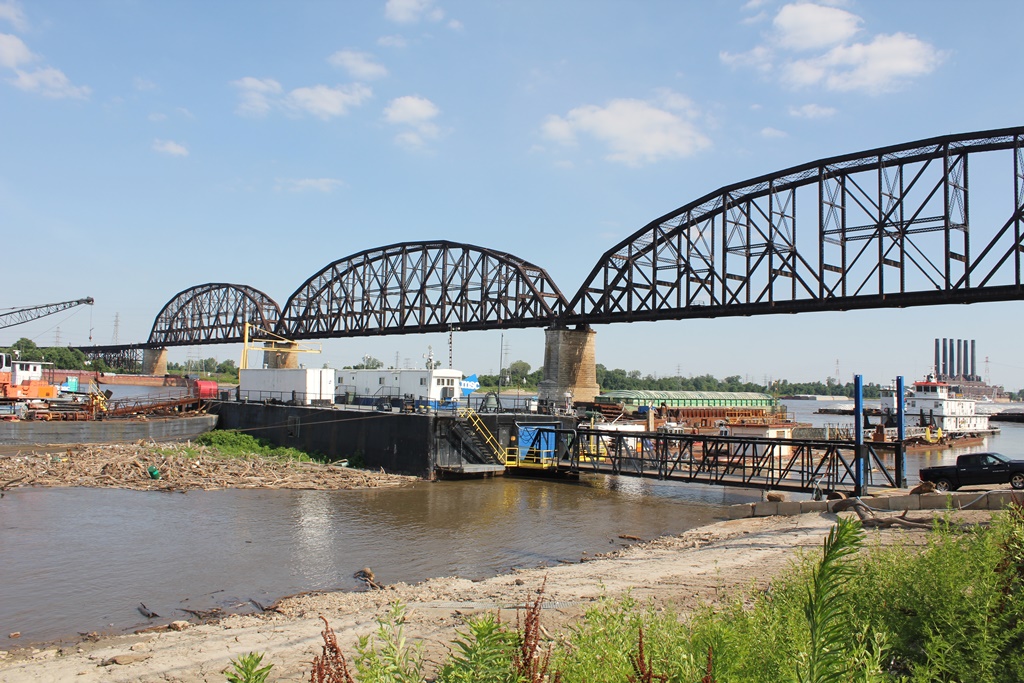
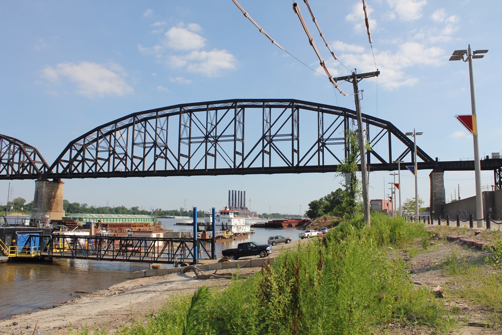
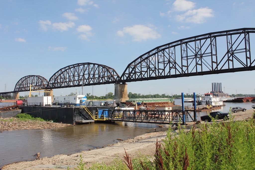
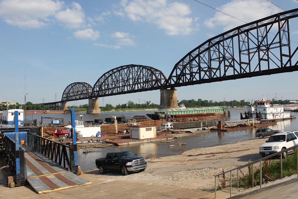
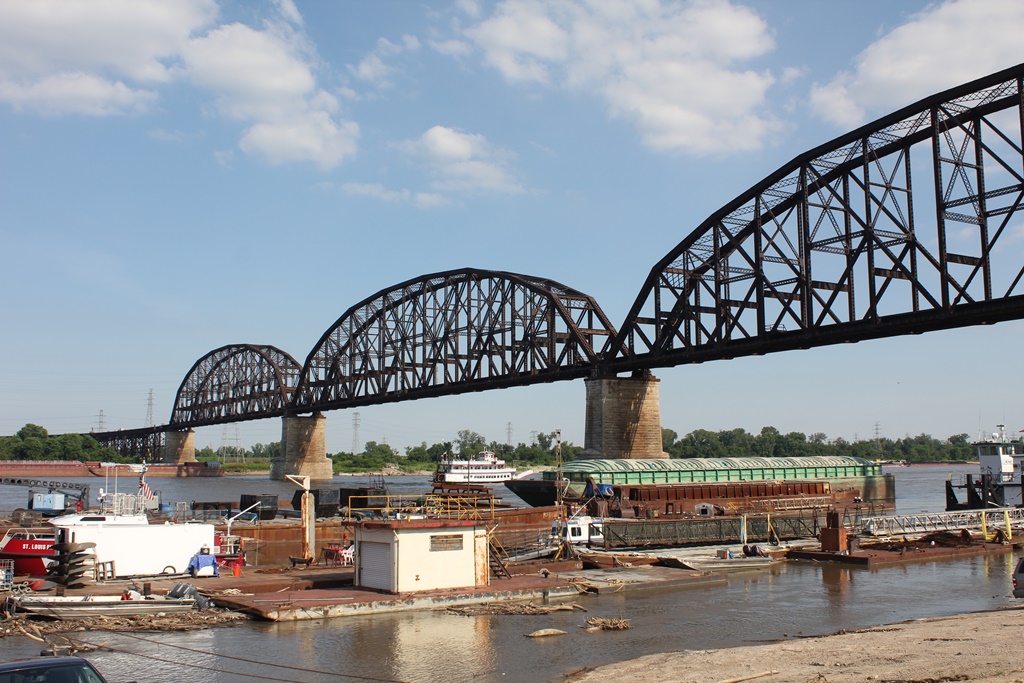
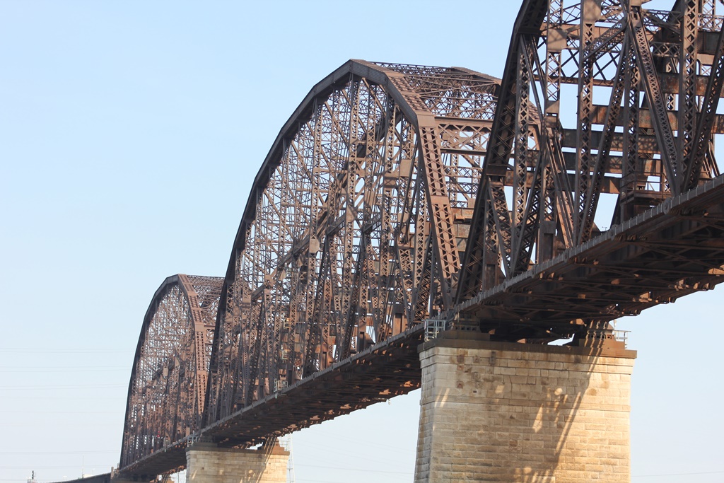
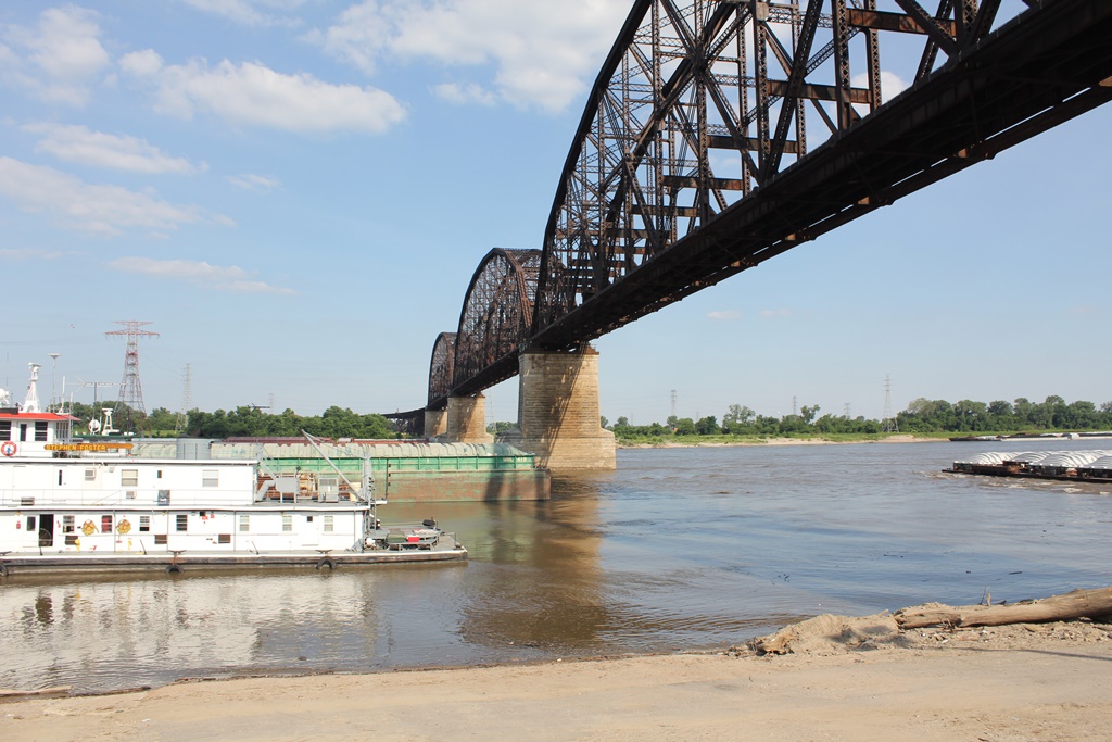
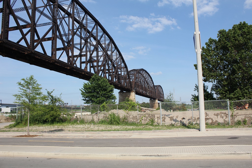
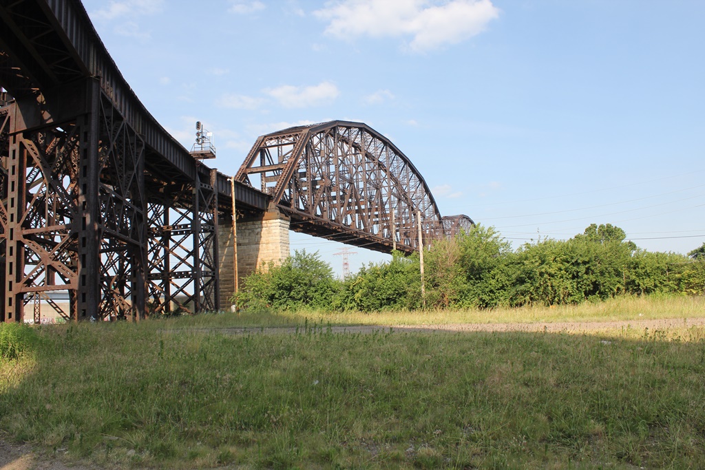
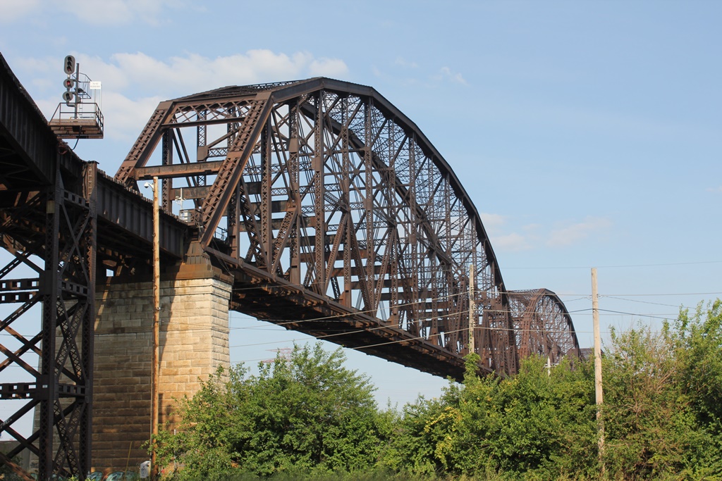
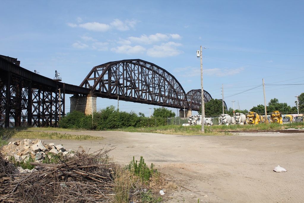
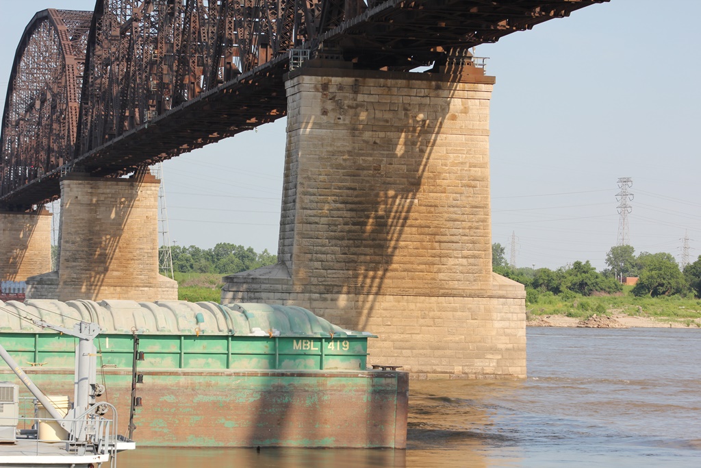
The main spans of the MacArthur Bridge are three massive Pennsylvania Through Truss spans. These three spans are what make up the river spans, and are separate from the MacArthur Bridge Approach Viaducts.

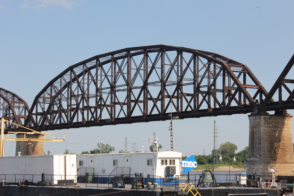
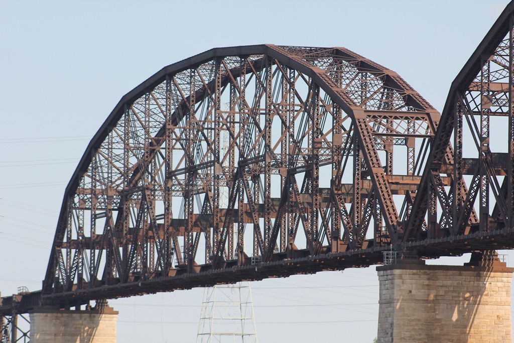
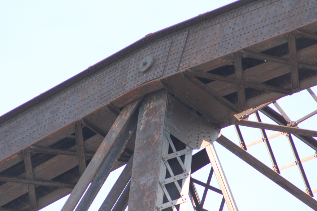
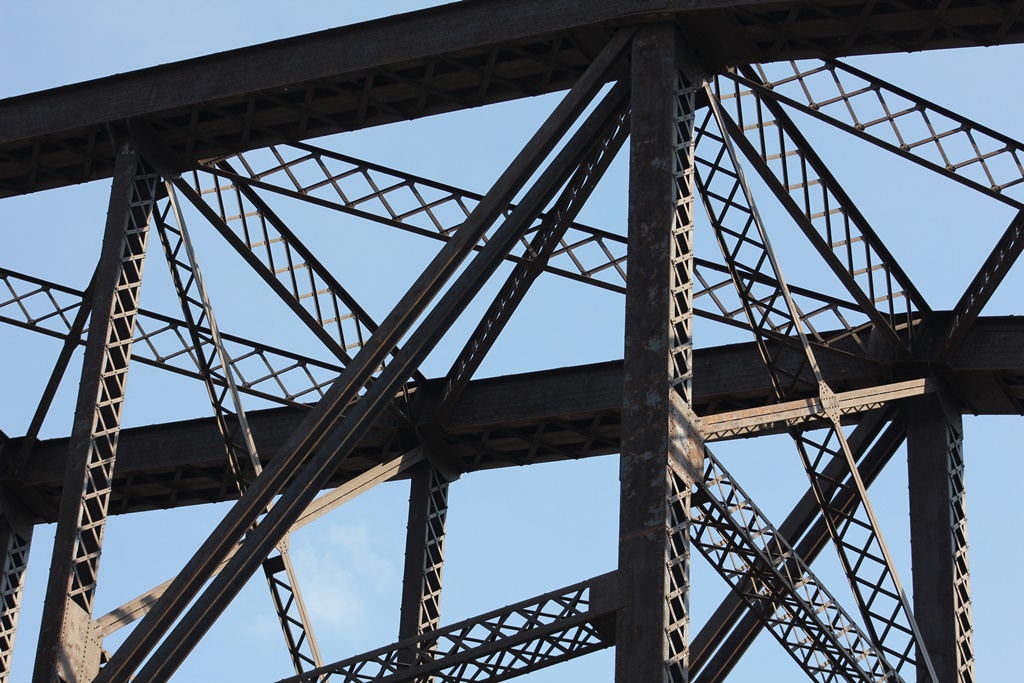
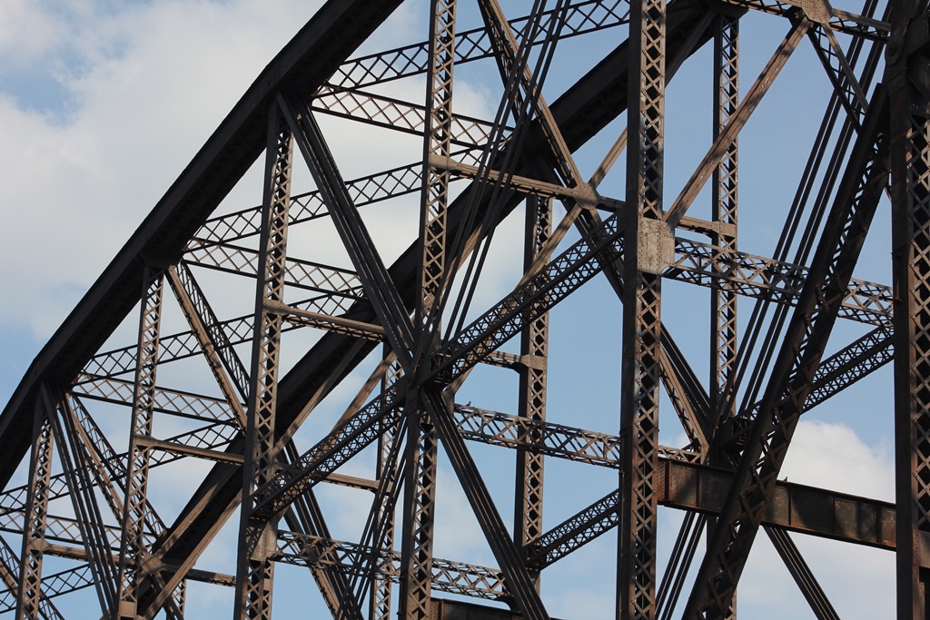
These main spans each are 16-Panel, pin connected Pennsylvania Through Trusses with massive chords. They were designed to carry an upper deck of roadway traffic, which has been removed. All three of the spans are of equal length, at 677 Feet.
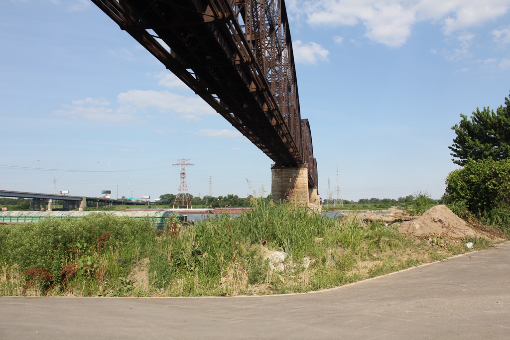
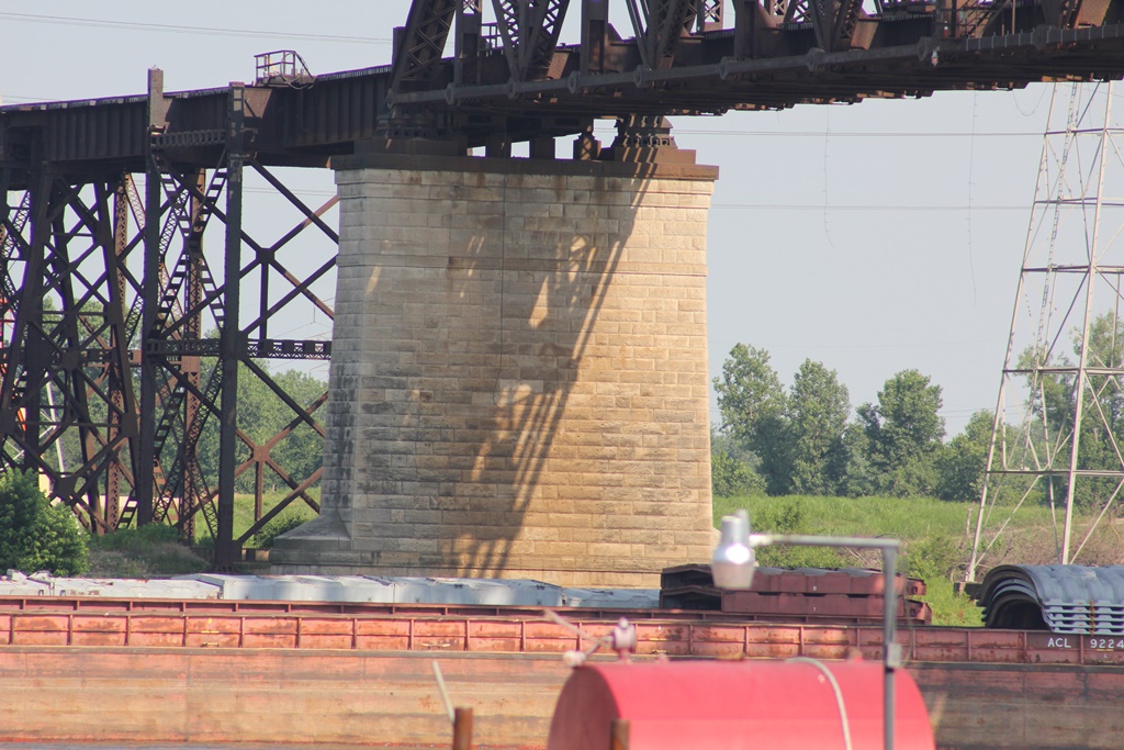
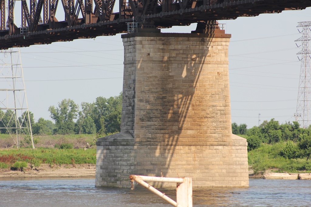
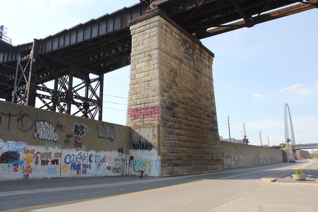
These spans are rested on large stone block piers. These piers are unusual that they were built later in the 20th century, and yet were still constructed of stone.
These main spans are considered highly significant. At nearly 700 feet long; they represent a unique type of engineering which was prevalent in the early 20th century. The total height of the spans is nearly 100 feet.
The main spans of the bridge, which are the focal point of this page were completed by 1912. However, they would sit unused for an additional 5 years until 1917, when they finally opened.

Despite the loss of the road deck, this bridge should be considered a very significant piece of American Engineering. As a result, the author has ranked this section of the MacArthur Bridge as highly significant.

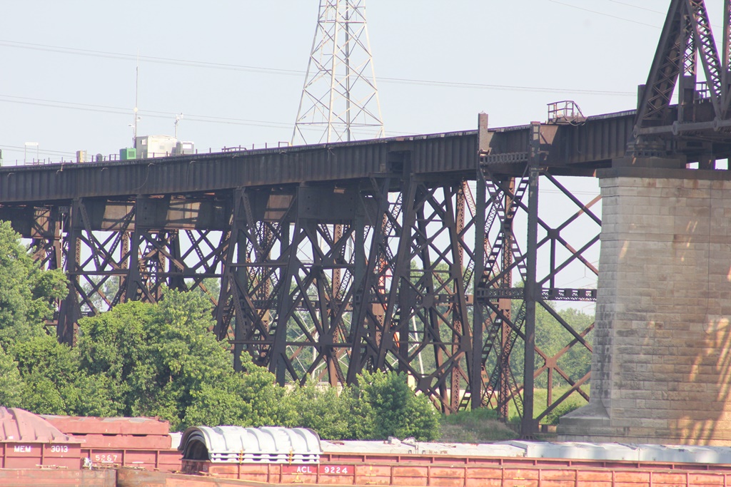
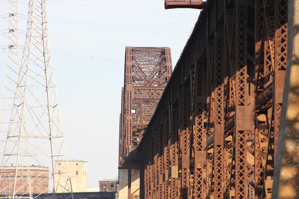
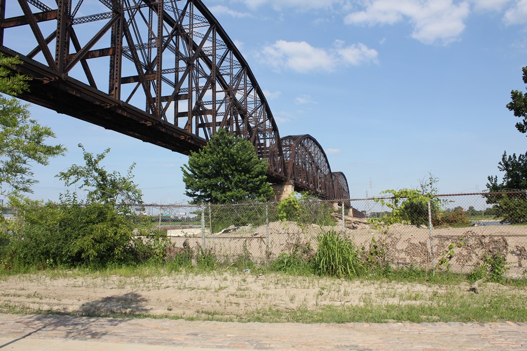
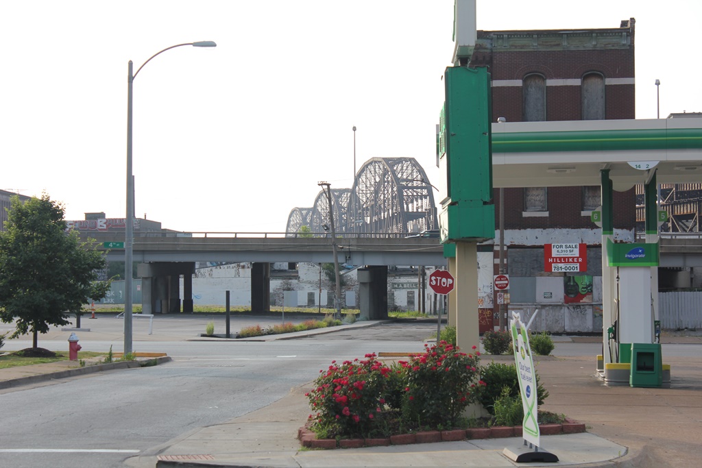
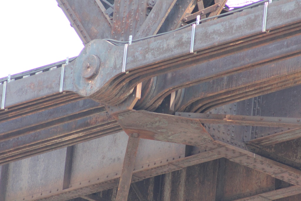
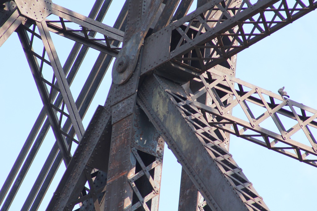
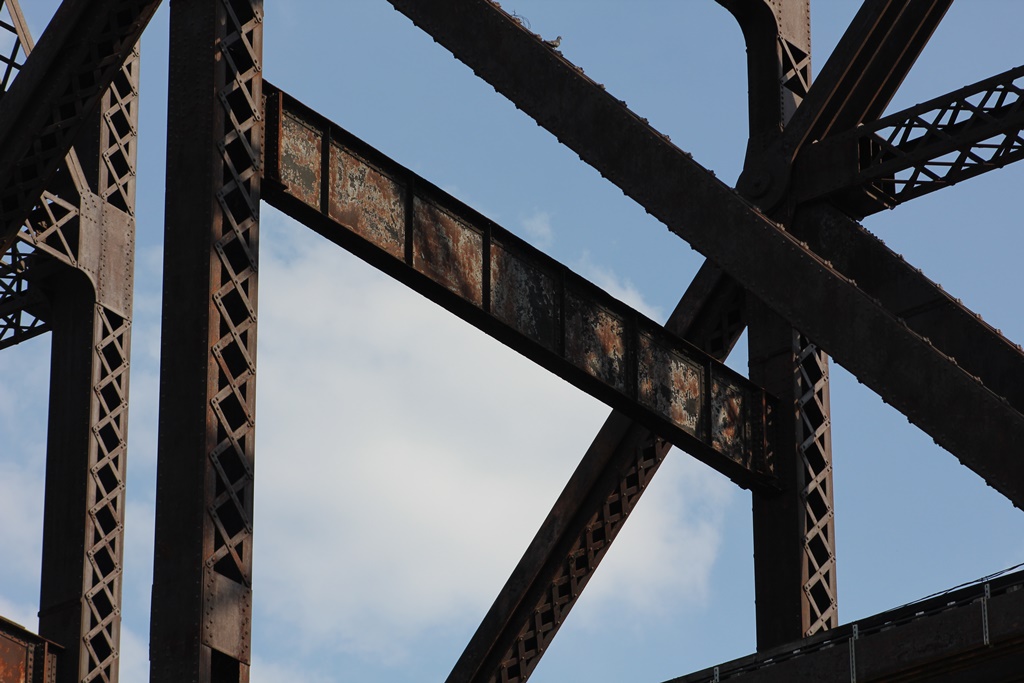
The photo above is an overview. More photos to come soon. This bridge proved extremely difficult to document, due to clutter along the riverbank on the Missouri side. The photo below is an example of a typical series of bracings.

MacArthur Bridge Components
Main Spans MacArthur Bridge
Illinois Approaches MacArthur Approach Viaduct #2 MacArthur Approach Viaduct #4 MacArthur Approach Viaduct #5
Missouri Approaches MacArthur Approach Viaduct #1 MacArthur Approach Viaduct #3

Mississippi River Railroad Bridges
Upstream Eads Bridge
Downstream Thebes Bridge


These Pictures Start at Varying Points in the Series

Detail Photos

Citations

Source Type

Source

Build Date Historic Articles
Railroad Line History Source ICC Valuation Information, Compiled by Richard S. Steele


Widget is loading comments...


© Copyright 2010- John Marvig and Contributors. All Rights Reserved